Kent County 1611 - 1836 - Fold Up Map that features a collection of Four Historic Maps, John Speed's County Map 1611, Johan Blaeu's County Map of 1648, Thomas Moules County Map of 1836 and a Plan of Canterbury 1806 by Cole and Roper.
€ 29.50
Hardback
Hall, Dale
Kent Island Waterscapes
€ 36.20
Gebonden
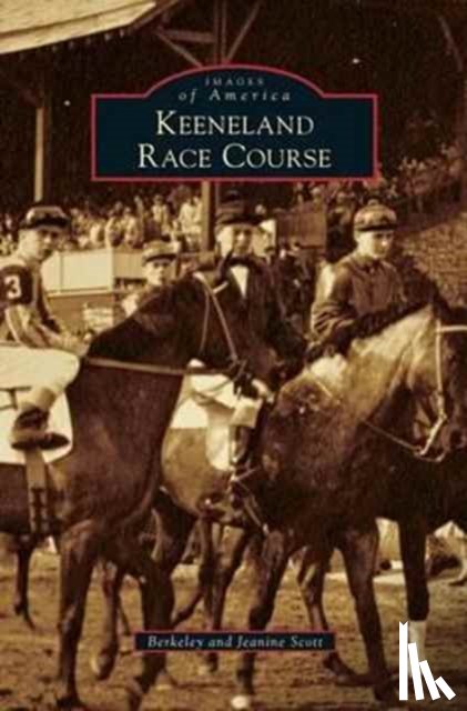
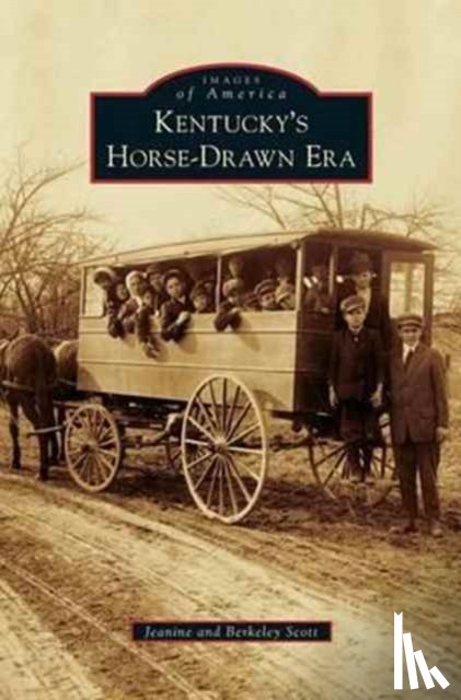
Scott, Jeanine, Scott, Berkeley
Kentucky's Horse-Drawn Era
€ 30.85
Hardback
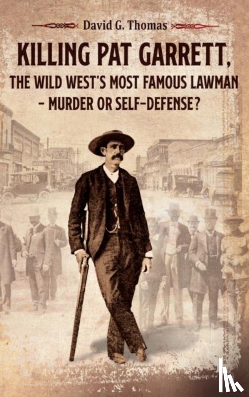
Thomas, David G
Killing Pat Garrett, The Wild West's Most Famous Lawman - Murder or Self-Defense?
€ 33.70
Paperback
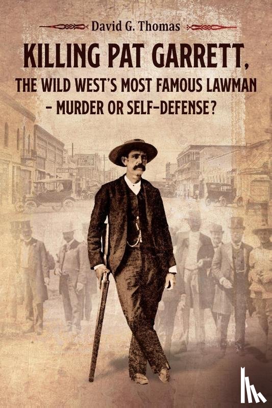
Thomas, David G
Killing Pat Garrett, The Wild West's Most Famous Lawman - Murder or Self-Defense?
€ 28.80
Hardback
Morrison, J Michael
King of Prussia
€ 39.20
Paperback / softback
Strachan, Michael A. W.
Kinnaird Head Lighthouse
€ 22.95
Paperback
Baer, Will Christopher
Kiss Me, Judas
€ 27.30
Gebonden
Phillips, Charles
Knights and the Golden Age of Chivalry, The Illustrated History of
€ 24.95
Hardback
Jennings, Jay
Knott's Berry Farm
€ 35.80
Paperback
Mindfulness Academy
Kundalini Awakening, Empath and Psychic Abilities - 2 Books in 1