Kent County 1611 - 1836 - Fold Up Map that features a collection of Four Historic Maps, John Speed's County Map 1611, Johan Blaeu's County Map of 1648, Thomas Moules County Map of 1836 and a Plan of Canterbury 1806 by Cole and Roper.
€ 29.50
Hardback
Hall, Dale
Kent Island Waterscapes
€ 36.20
Hardback
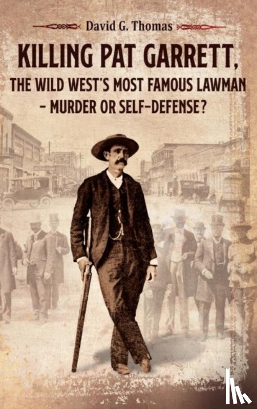
Thomas, David G
Killing Pat Garrett, The Wild West's Most Famous Lawman - Murder or Self-Defense?
€ 33.70
Paperback
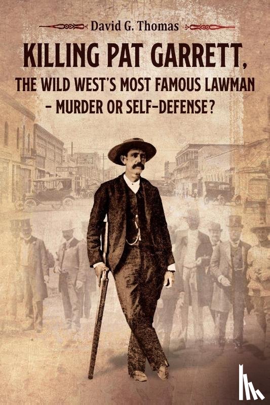
Thomas, David G
Killing Pat Garrett, The Wild West's Most Famous Lawman - Murder or Self-Defense?