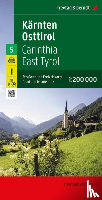
The road and leisure map Carinthia - East Tyrol on a scale of 1:200,000 is the ideal map for planning and orientation thanks to the precise cartography from freytag & berndt. The dense road network is depicted in great detail, tourist routes and scenic routes are highlighted in color and many excursion destinations are shown directly on the map.
Ik heb een vraag over het boek: ‘Carinthia, East Tyrol Road and Leisure Map - ’.
Vul het onderstaande formulier in.
We zullen zo spoedig mogelijk antwoorden.